Interior Mapping – What is it?
If you’re familiar with Google Street View, then the concept of a 360 degree map is not foreign. From anywhere in the world, users can travel down the streets of any city, and look in any direction. But did you know the same technology is also available for the inside of buildings? Now your entire campus can be mapped in a 360 degree view.
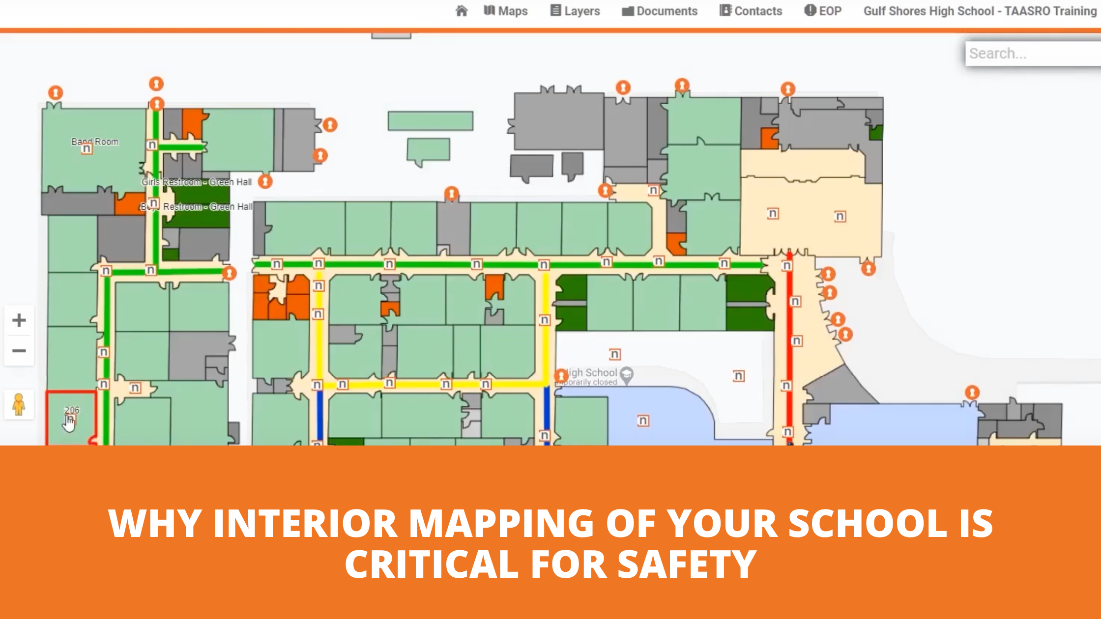
This video gives a demonstration of how essential interior mapping can be in an emergency situation.
By collecting 360-degree photographs in hallways and rooms, these images can be linked together to create a virtual tour of the building. This allows you to navigate through buildings within nSide – The School Safety Platform. When your organization and local first responders have access to this data, it equips your team with situational awareness for emergency planning, training, response, and recovery efforts.
This can help save lives in the following ways:
- Assets are catalogued for insurance purposes
- The campus is mapped to aid in recovery efforts after a storm or destruction of the building
- First responders have access to the map of the school to avoid potential threats to themselves
- Dispatchers can help guide those involved in rescue efforts to get where they need to be faster, even in the dark
If you already have the nSide School Safety platform, it’s easy to upgrade your standard map to nSide |View. Having that visibility into your school buildings can mean the difference between critical seconds when an emergency happens.


